
Southern California braces for heavy rain as 2023 continues its showery start – Redlands Daily Facts
After a New Year’s Eve storm, Southern California will continue its rainy start to 2023 with a storm beginning Thursday, Jan. 5, the National Weather Service said.
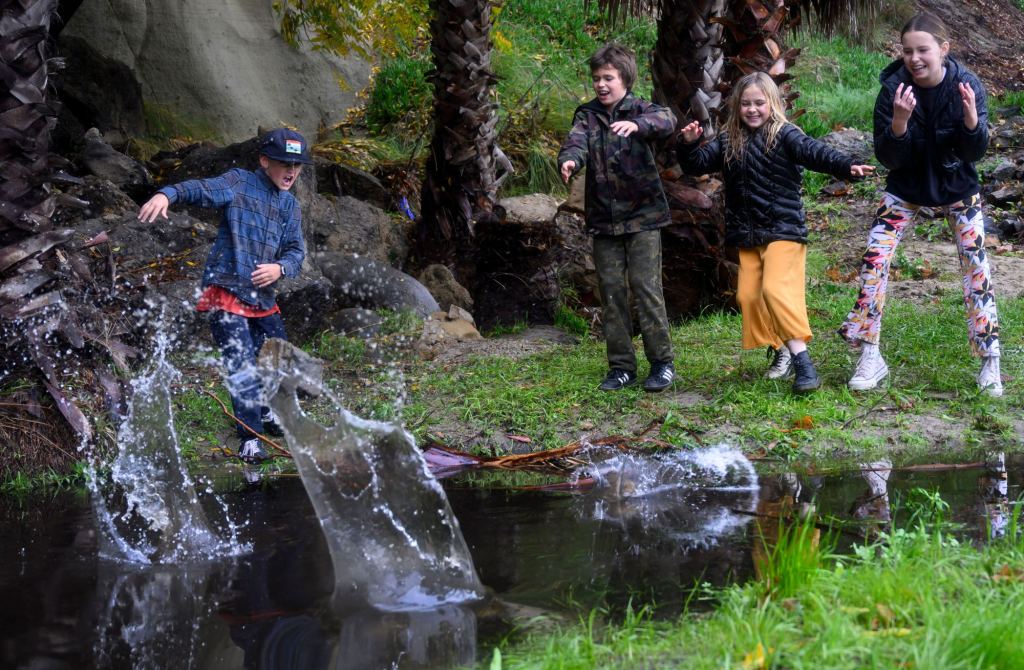
After drizzling and light showers were seen Wednesday, NWS meteorologist Brian Adams said Orange County and the Inland Empire will see the heaviest rains starting from about 6 am Thursday and continuing until around 4 pm that afternoon. A total of 1-2 inches of rain will be falling uniformly across the populated parts of Orange, Riverside and San Bernardino Counties, Adams said. Los Angeles County will see heavy rainfall in a similar window starting at 4 am, according to NWS meteorologist Carol Smith.


The storm comes as Gov. Gavin Newsom declared a state of emergency across California and as the Bay Area braced for a potentially deadly storm that touched down Wednesday. Also Wednesday, evacuations were ordered for those living in the burn scar areas of three recent wildfires in Santa Barbara County, where heavy rain was expected overnight, and could cause widespread flooding and unleash debris flows in several areas.
Higher elevations in Orange County, such as communities in the mountain foothills like Portola Hills and Silverado, may have around 3 inches of total rain, Adams added.
Heavy rain is possible in Inland Empire mountain communities, with snow also expected in the San Bernardino County Mountains above 7,000 feet.
In the Los Angeles metro area, Smith said a total of 1-3 inches were expected. She forecasted that San Fernando Valley would see a total of about 2.5-4 inches of rain Thursday, with heavier showers in the valley’s foothill communities. Long Beach and the South Bay would likely see up to 2 inches of rain, Smith added.
Adams said the Dec. 31 storm has heavily saturated the ground, meaning Southern California’s terrain will likely be less equipped to absorb the incoming rainfall, Adams said.
“The area will be steadily accumulating a large amount of rainfall rather than it falling all at once,” Adams said.
Another NWS meteorologist, Dan Gregoria, said Orange County and the Inland Empire were both issued flood watches due to a risk of flash flooding during the “moderate impact” storm.
Geographically, all of Orange County was at “higher risk” for flash flooding, Gregoria explained. In the Inland Empire, Chino and Ontario were also at risk, he said.
“We do have some concern for (flash flooding),” Gregoria said, noting that drivers should exercise caution during the storm. “We advise to not drive through flooded roadways … it can be really life-threatening and dangerous.”
Los Angeles county could also face flash flooding, NWS meteorologist Joe Sirard said, adding that burn scar areas were of “most concern.” Free sandbags were available for pick-up in locations across Los Angeles County.
Minimal to no vegetation in the burn scars add to the potential for mud and debris flows, Sirard explained. These flows can even be deadly.
Los Angeles County issued an evacuation warning for the Lake Hughes and King Canyon area, north of Santa Clarita, for this reason. The city of Duarte also put out an advisory for the Fish fire burn scar area, from a 2016 blaze, until Friday morning.
Due to @LACoPublicWorks Phase 2 mudflow forecast for recent burn areas, an EVACUATION WARNING has been issued for the Lake Hughes and Kings Canyon area due to possible mud/debris flows from Wed 1/4 through Fri 1/6.
Residents are advised to be READY for possible evacuations.
— Ready Los Angeles County (@ReadyLACounty) January 4, 2023
In the Inland Empire, at-risk burn scars include the Fairview fire burn scar that was left behind from a September blaze and the Apple-El Dorado burn scar.


In addition to precipitation, Smith said heavy gusts were also expected across the county. Off the coast of Malibu, 45 mph gusts were forecasted for Thursday, while the San Fernando Valley was expected to see winds ranging from 20-30 mph. Across the metro area, gusts would be slightly higher at 25-35 mph, she said.
Gusts nearing 40 mph could be expected from San Clemente to Huntington Beach, and even reach up to Long Beach, Adams said.
High winds in the San Bernardino Mountains could bring down tree branches, potentially hampering the morning and afternoon commutes, the NWS warned.
Amid the deluge, high surf is also expected on the coast. This could mean additional flooding on Southern California’s shoreline, which already saw a landslide in Dana Point amid the rains.
A letter reprieve from the rain was likely over the weekend, according to Adams. While forecasts weren’t immediately clear, more rain could be expected starting early next week, he said.
Comments are closed.